
Case study: Fast, Focused and Field-Proven
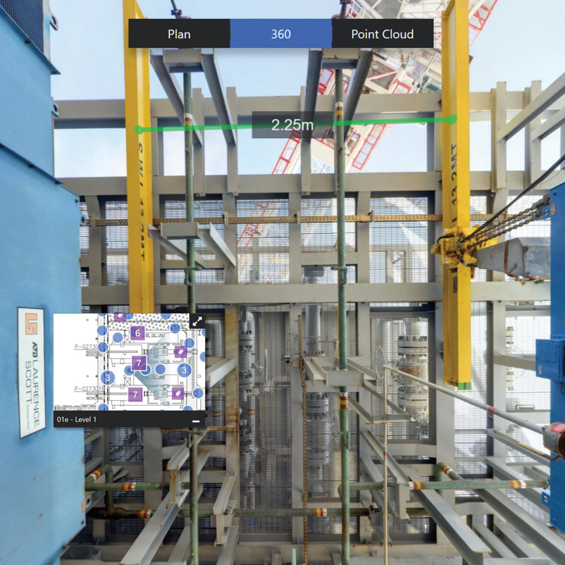
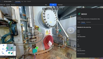
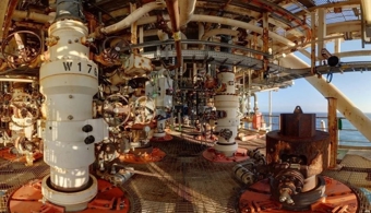
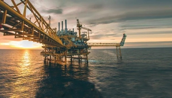
With just two days offshore and limited resources, a deepwater operator needed to capture a 10,000 sqm asset for decommissioning planning. AIS delivered a self-capture kit and provided remote training and support, enabling a full 360° survey with dimensional data. In two weeks, the team had a complete site visualisation in R2S, ready for the whole team to access. The result? Fewer offshore trips, improved planning, and better alignment across disciplines. The client now uses R2S for future projects, confident in a solution that’s practical, precise, and proven to deliver. With R2S, your team get the clarity to move faster, the context to stay safe and the confidence to deliver measurable value.


 Read James Fisher and Sons plc's latest Annual Report